
Running · evening
· running
- 55:36Time
- 10.12kmDistance
- 5:29/kmPace
- 224mClimb
- 1,083kcalCalories
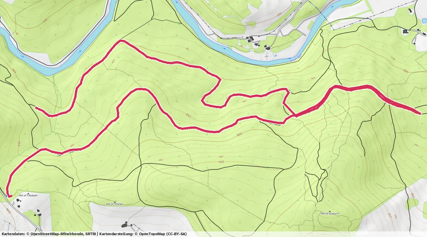
6.3 miles lost in the woods at Shooting Greens
Ok, I’m going to try to be better at filling my blog in.
6.3 miles from Shooting Greens, should have been an out and back, but as you can see from the map I took a wrong turning in the woods.
Quite promising as a run, I was last in these woods 11 months ago for the real relay and failed to hold 10min/mi, so very happy at running sub 9min/mi in hilly terrain, albeit with net altitude loss, and without the ITB problems of a year ago.
Anyway, geeky stats…
| Z1 Recovery | 0–2 m/s | 3:47 | 7% |
| Z2 Endurance | 2–2 m/s | 8:08 | 15% |
| Z3 Tempo | 2–2 m/s | 12:01 | 22% |
| Z4 Threshold | 2–3 m/s | 12:54 | 23% |
| Z5 VO2max | 3+ m/s | 18:46 | 34% |
Best efforts
Fastest distances
- 400 m
- 1:18
- 1 km
- 4:32
- 5 km
- 26:31
- 10 km
- 54:49
Best sustained pace
- 20 min
- 5:15/km
Fastest ascents
- 100 m up
- 10:26
- 250 m up
- 36:43
Leave a reply
Have your own site? Link to this page and send a webmention — it'll appear here. Otherwise, use the form.